Lahjoita
…
The Finnish Natural Heritage Foundation managed to acquire the Syrjäjoki swamp in Perho in March 2015. The purchase of this 15-hectare parcel of land in the vicinity of the Syrjäjoki river is the third deal made during the course of the swamp campaign, which was launched in co-operation with the Ostrobothnia conservation district in 2012.
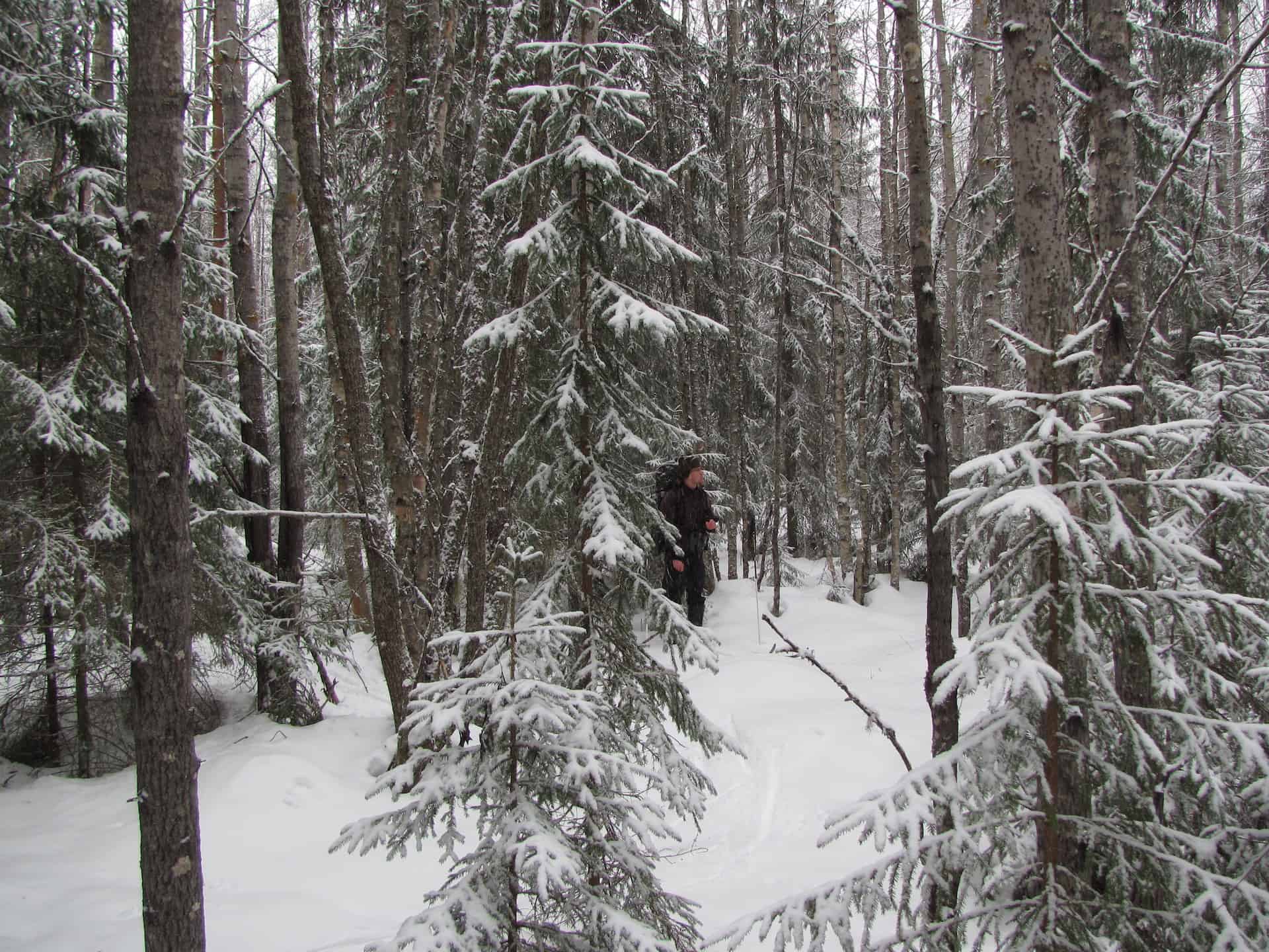
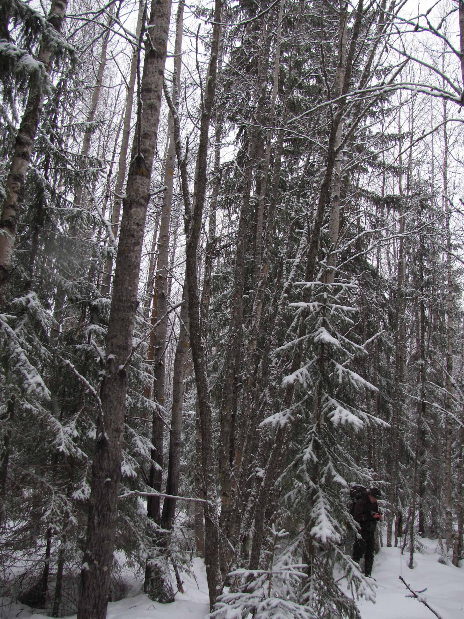
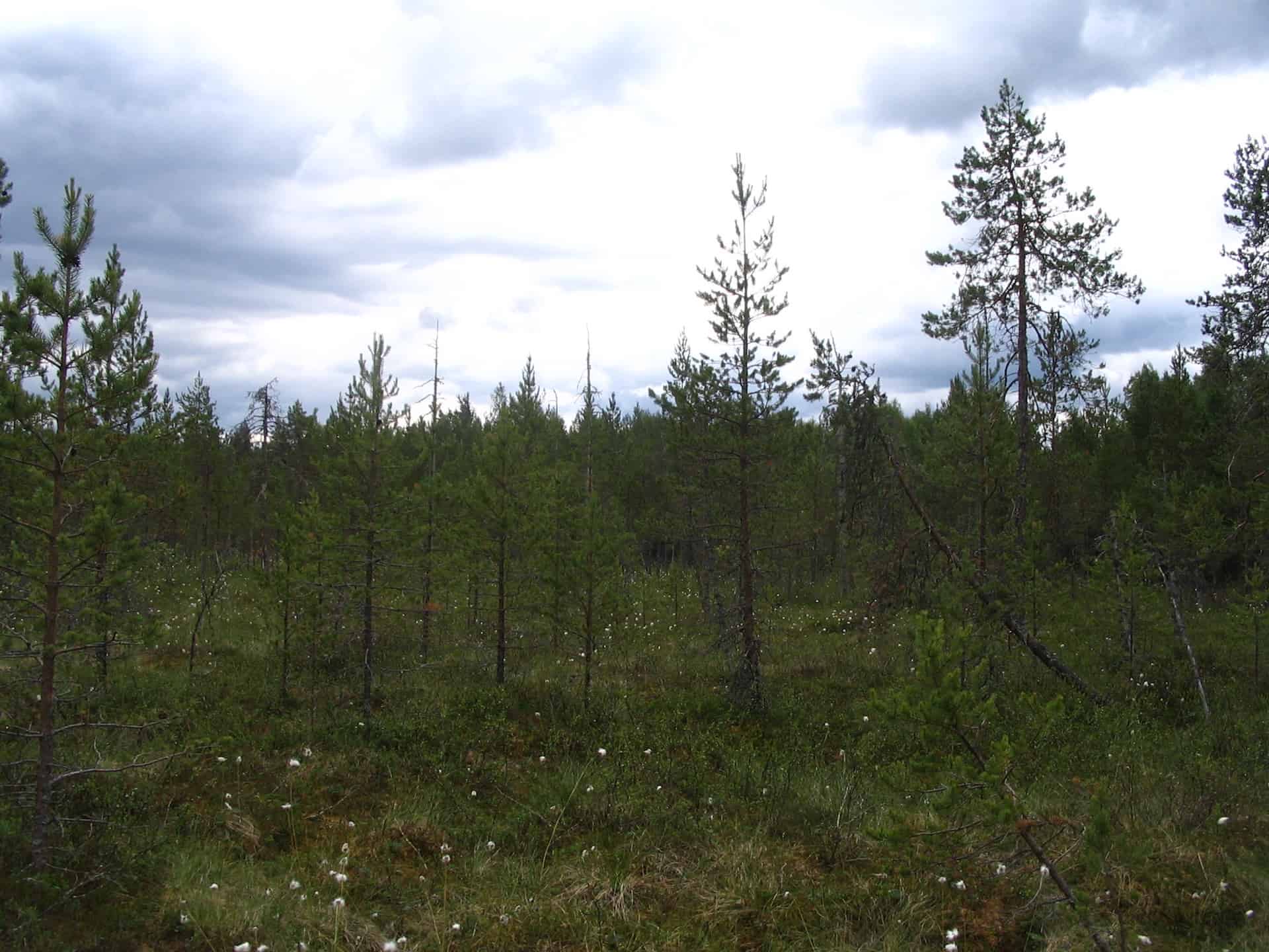
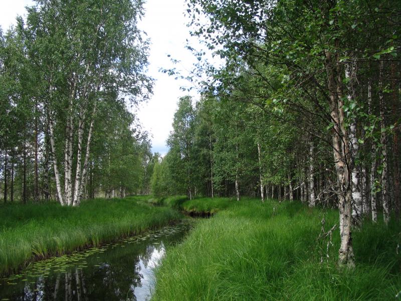
The Syrjäjoki conservation area is an undrained, thickly forested swamp with two forest-covered islets dominating the eastern and northeastern parts. The southwestern border follows the small Syrjäjoki river, after which the entire area is named.
Thanks to the forest-covered islets, the tree stand varies in the area. The swamp itself provides a ground for stunted and persistent pine trees. The tree stand of the islets, instead, is made up of deciduous trees, birches and aspens with some goat willows growing among them. Some of the spruces and aspens have grown quite massive in this region. In addition, there are grey alders and junipers appearing by the brook. The tree stand has remained intact for several decades.
It is common for conservation areas to offer a variety of habitats, and this applies also to Syrjäjoki, a home for a multitude of species, for instance the regionally endangered willow grouse as well as a number of mammals: the elk, the mountain hare, the fox, and the otter. The brook together with its surroundings provides a home for the dragonfly, among others.
Syrjäjoki is the 50th conservation area of the foundation and the fourth one in the Ostrobothnia region.
Show this conservation area on map
PROTECT A PIECE OF OLD-GROWTH FOREST
Syrjäjoki
Donate for example: 20,00 €